Project: Roadside Vegetation Mapping and Management Guidelines
Clients: Lachlan Shire Council, Young Shire Council, Cowra Council, Blayney Council, Boorowa Council (Hilltops), Wellington Council, Gilgandra Shire Council and Weddin Shire Council
2012-2024
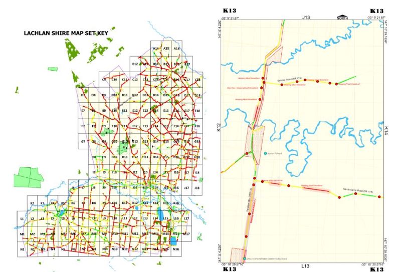
Applied Ecology mapped the roadside vegetation for over 20,000 kilometres of roads in the central west and tablelands of NSW.
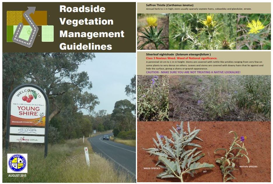
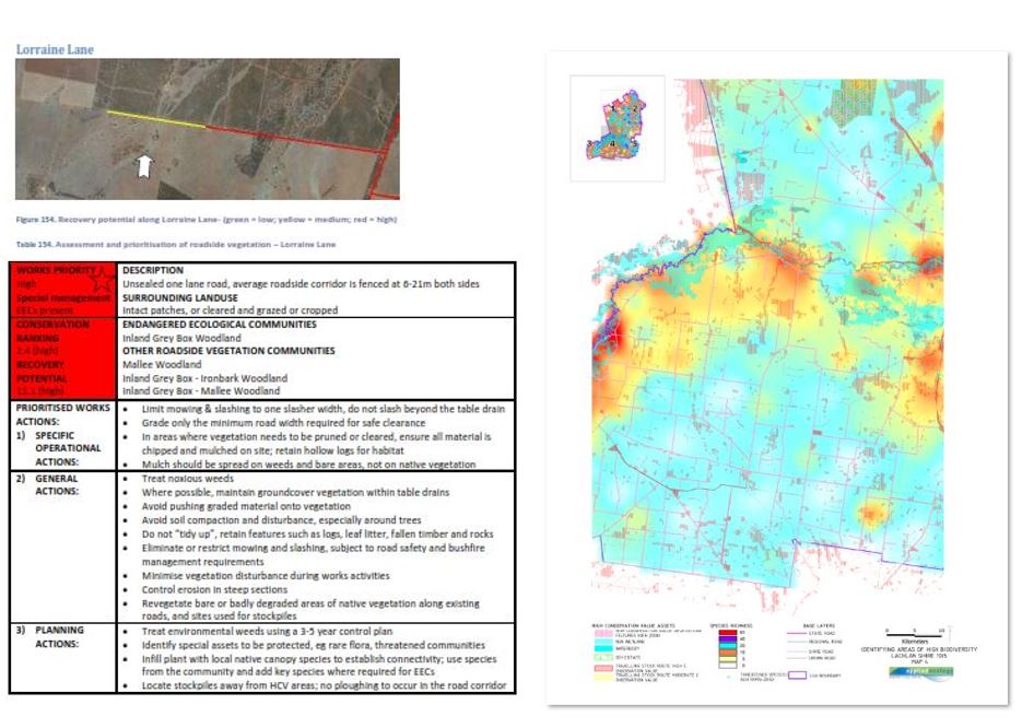
We created a map books and key guides for use by Council’s operational staff showing locations of EECs, threatened species and other special features located in road reserves. Roadside corridors were ranked based on conservation value and were given a simple colour code with guidelines developed on how to manage each “rank”. A guide to environmental weed and threatened species identification was also provided.The large database (including species inventories, noxious weeds, vegetation condition for each “section” of road reserve) were integrated into Councils’ GIS systems. Building upon this new comprehensive layer of information Applied Ecology prioritised roads for rehabilitation works and prepared technical reports on the vegetation condition of the road reserve networkfor each LGA. In recent surveys we have undertaken biodiversity mapping integrating data from numerous sources to assist with identifying biodiversity hotspots.