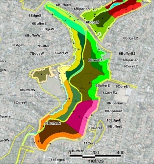
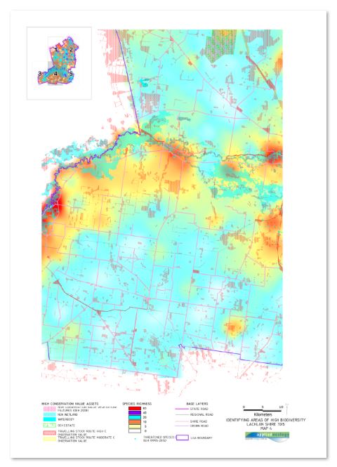
Mapping is very important for communicating spatial data related to the environment. Geographical information systems should be used where possible to undertake mapping, data presentation, statistical analysis and trend monitoring. Applied ecology mapping software covers an array of business requirements. Integrating GIS into projects allows us and our clients to view, understand, question, interpret, and visualise data in many ways that reveal spatial locations, patterns and trends in the form of maps, reports, and charts. Applied ecology can source datasets, capture data and manipulate data sources to create unique geospatial solutions, as well as audit and cleanse data. We are able to create customised maps (published and digital) that represent your datasets or datasets we have collected in the field.
Mapping is completed using MapInfo Professional (V.11) and Autodesk Geospatial software (AutoCAD Civil 3D 2012, CADmap), which combines computer-aided design (CAD) and geographic information systems (GIS). Files can be converted into formats compatible with your needs including .shp (ESRI) and .kml (Google earth).

DESIGN
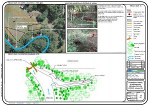
Applied Ecology can draw on the information collected during the planning and assessment phases to inform the design process or use pre existing datasets provided by our clients to produce concept and detailed designs. We specialise in the
following ecological design areas:
STREAM BANK STABILISATION ranging from soft engineering solutions to fully engineered options
RIPARIAN AND INSTREAM RESTORATION maintaining the ecological integrity of the core riparian area and linkages within
the wider landscape
PLANTING PLANS using local native species that are suited to the design outcomes for the environment, and taking into
consideration the potential impacts of climate change variation


